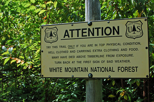
I've been out in the mountains again, the Presidential range in the White Mountains of New Hampshire. Compared to the altitude of western mountains, these are nothing, topping out at a little over 6000 feet. But they are not to be taken lightly, as this warning sign aims to get across. It doesn't work very well -- whenever I've been up on the ridge, I've always encountered at least a few unwary hikers with light footwear and inadequate clothing. We knew enough not to risk that (this is where I came to love peaks), but we could have had stronger knees and tougher feet. Oh well, we made it through our four day hike, though I limped a lot.
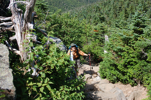
Hiking up to the ridge line requires a short, pretty steep ascent out of the forest and on to the rocks.
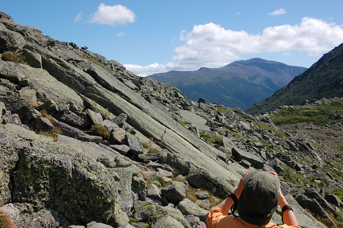
Yes, the motif here is rocks! The hiker is looking out toward Mount Washington from the col between the cones of Mount Madison (on right) and Mount Adams.
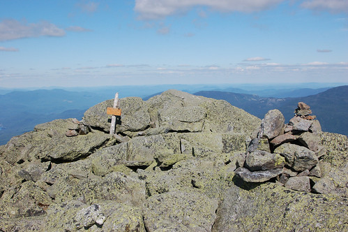
At the summit of Madison, more rocks and a rare wide view and blue sky. My mountain pictures always convey a slightly skewed perspective on my hikes. Most of the time on most peaks, clouds obscure at least some of the scene. But of course I snap pictures in the sunny moments, however rare.
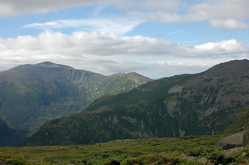
On the second day, we'd advanced much closer to Mount Washington, the crown of the range, having traversed the flank of Adams.
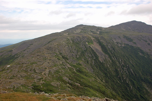
After Adams, the huge mound that is Jefferson comes into sight.
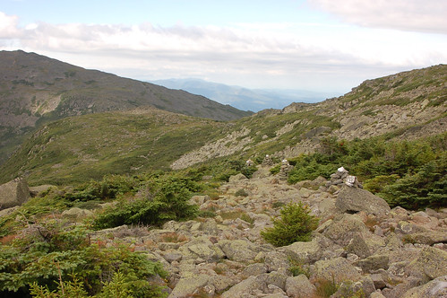
This is what the trail off of Jefferson looks like.
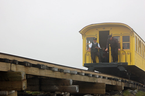
As we approached Mount Washington, the clouds moved in. We'd already skipped the summits because of my gimpy knee -- now we took a cut off around mountain's cone. The way led under the Cog Railway that carries tourists up the slope.
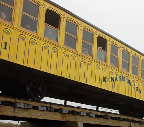
They photographed us, the crazy hikers, while we photographed them, the lazy dilettantes. Actually, we waved and smiled -- and hurried forward to get under shelter after a long hard day.
As we did throughout the trip, we stayed at an Appalachian Mountain Club hut that night. We launched off in the morning into pea soup fog, hoping for a little break in the clouds.
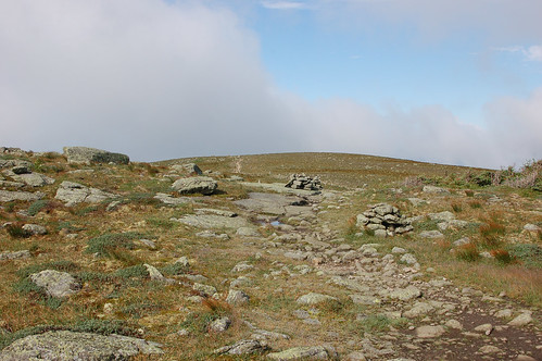
The break came, more swiftly and completely than we'd dared to hope.
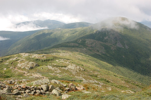
The southern Presidentials, while still rugged, are a different sort of place than the high summits. Here, Monroe, Eisenhower and Pierce rise much less above the tree line.
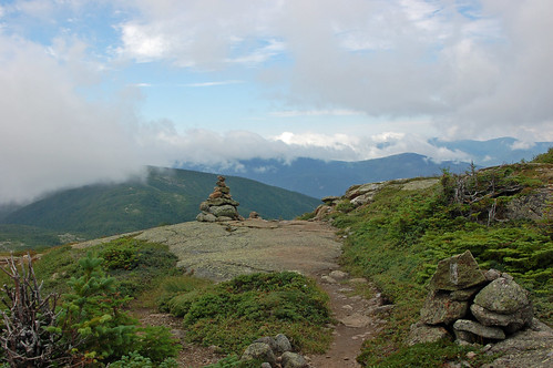
On the flanks of Mount Eisenhower (we were still skipping summits because of my knee), there are exposed rock ledges. This one got its present name in 1972 -- before that it was known as "Pleasant Dome" which it is.
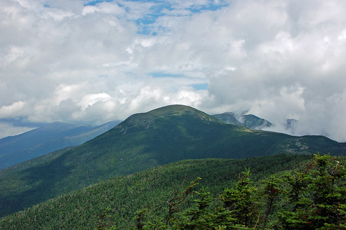
The last of the mountains we crossed on this trek was Mount Franklin Pierce which barely rises about the scrub pine forest. In my youth I remember it being called "Clinton," apparently for New York Governor DeWitt Clinton, the visionary who got the Erie Canal built. More history of the names is here.
This was a wonderful, tough trip for a couple of "old ladies." We both could have been in better shape, but we wouldn't have missed it for anything.
Beautiful pictures. I love mountains and the views are spectacular.
ReplyDeleteI will take the Cog railway though. Hiking is no longer something I can do
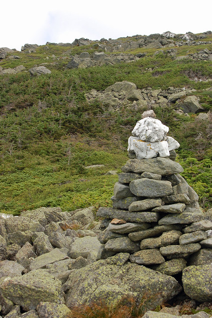
Wow that's rocky! The cairns are quite spectacular as well. The cairns on Isle Royale were sometimes no more than one rock placed on top of another, or even just a single rock. We saw one that looked like it had been designed by Frank Lloyd Wright.
ReplyDeleteLooks like a difficult hike, but I'm glad you took care of your knee and didn't push it.