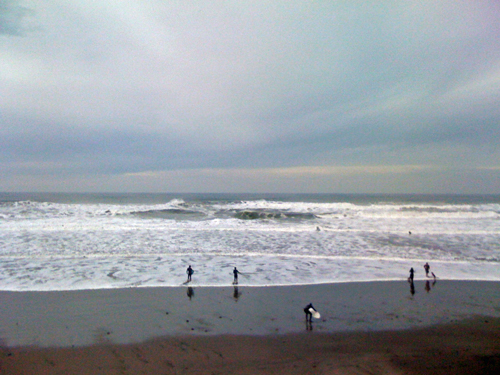
This past week, at a rare interval between squalls, the ocean looked more like this.
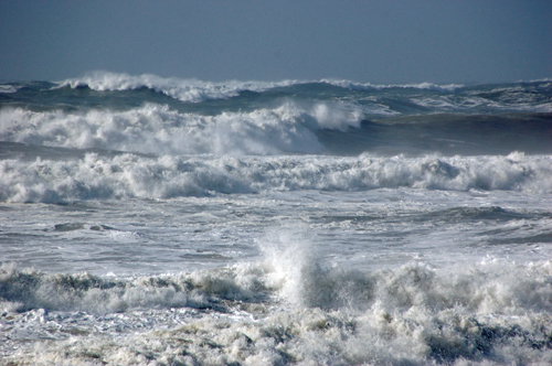
Or this.
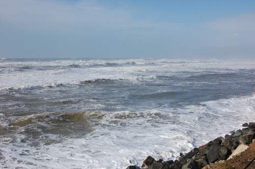
I took that last one from the edge of the southbound lane of the Great Highway between Sloat Blvd. and Fort Funston, a stretch of road that has since been closed until further notice because the ocean is undermining it.
Ah, an El Niño winter. Less than an hour later I was caught out running in a windwhipped thundersquall.
No comments:
Post a Comment