
I expected to hear a lot about the dangers of rising seas, and I did. Many of the island's roads skirt the shoreline and may be inundated by more powerful storms and the ocean itself over the next few decades. Significant island infrastructure -- the ferry landings through which people and commerce flow and the only hospital -- are located in areas that will flood.
But as a Californian, I was struck by this which I much less expected:
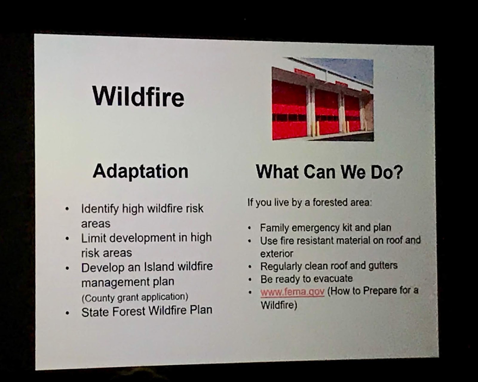
It's not just California (and Australia) that can burn.Climate change is bringing more periods of drought, i.e. extended periods of deficient water supply, punctuated by heavy rainstorms. This will increase the risk of wildfires, especially in the spring, before trees have leafed out. Wildfire could strike quickly with potential for great loss of life and property.
On Martha’s Vineyard, between 1867 and 1929, there were 16 fires greater than 1,000 acres, the largest burning 12,000 acres from West Tisbury to Farm Neck, Ocean Heights, and Edgartown in 1916. Since then, fires have generally been smaller. The last big fire was in 1965, burning 1,200 acres from Great Plains to Katama. In 1957, a fire burned 18,000 acres from Carver to Plymouth, burning all the way to the sea; 12,500 acres, more than twice the area of Martha’s Vineyard’s State Forest, burned in 6 hours.
The Vineyard probably has more people and buildings at risk from wildfire than at any time in our history because of several factors:
- The regeneration of the forest in land that was largely open pasture in the 18th and 19th centuries;
- The large population growth and amount of construction of almost exclusively wooden buildings since the 1950s;
- Fire suppression efforts over the past century, leading to the buildup of fuel;
- The presence of hundreds of acres of dead trees from a caterpillar infestation in 2004 to 2007 as well as trees that died throughout the Island from other causes;
- and the increased risk of drought due to climate change.
No comments:
Post a Comment